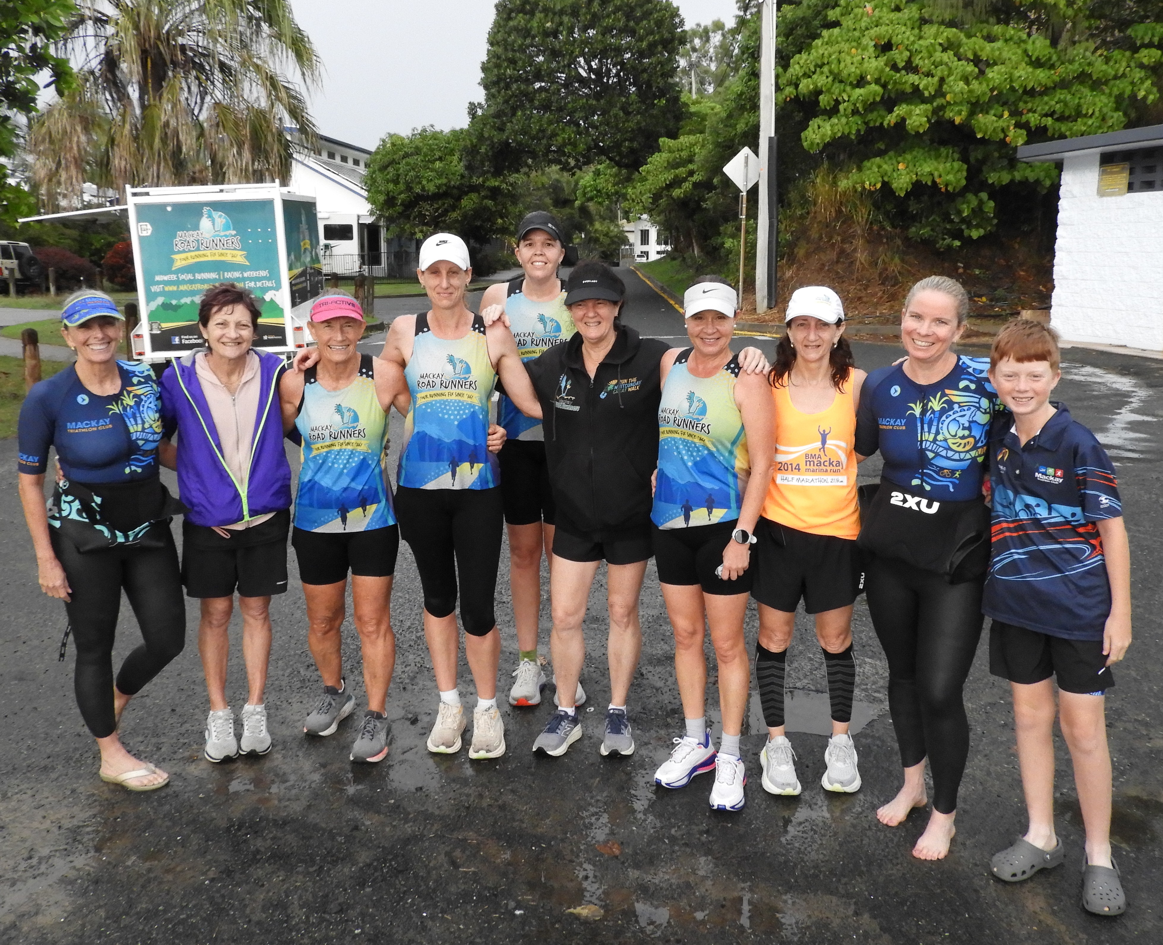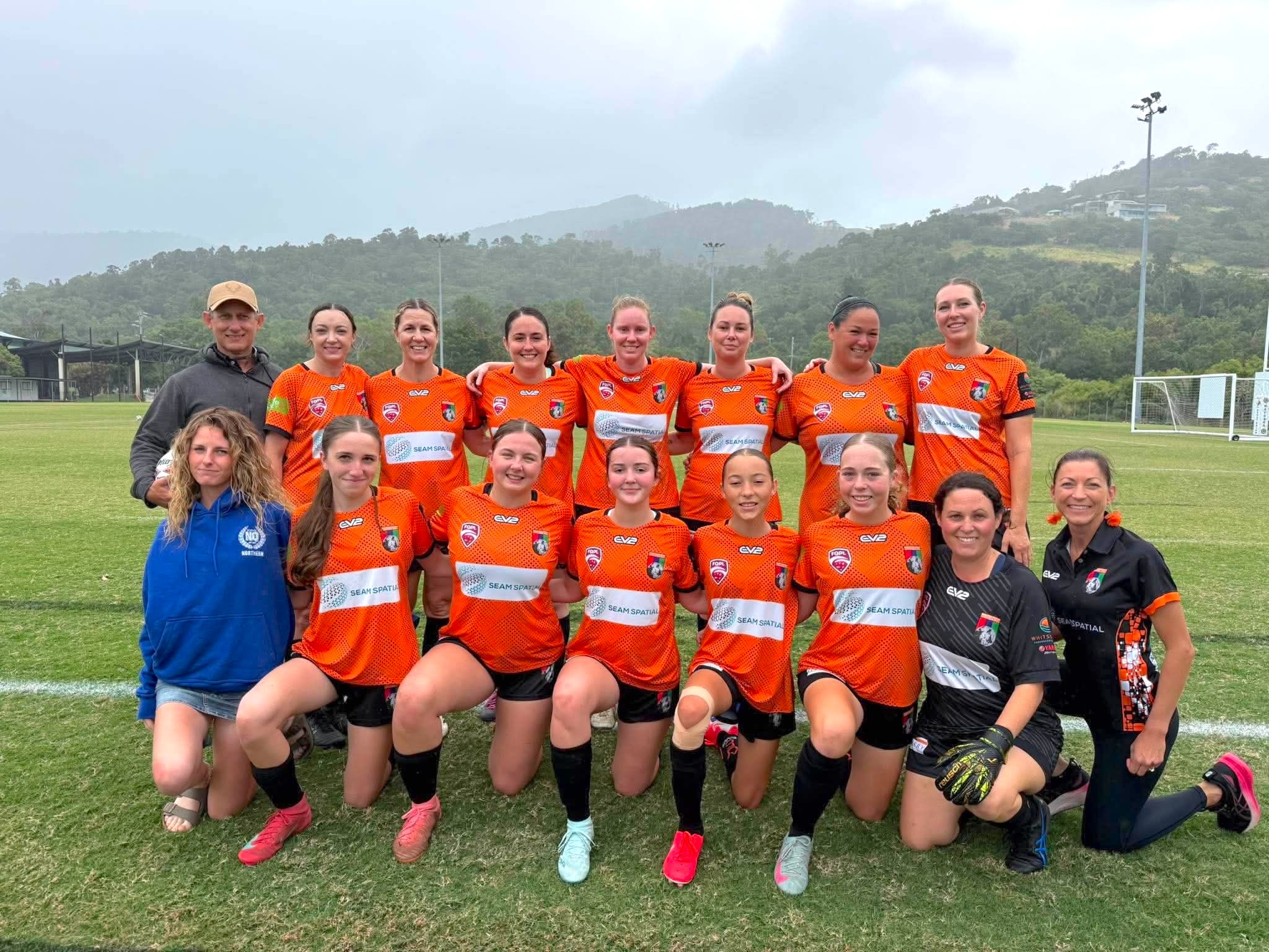
Independently Owned, Locally Grown, Community Loved


By Kevin Borg, Chairman, CANEGROWERS Mackay
Once again, Mackay has dodged the cyclone bullet, experiencing only the edge effects of the Category 2 Cyclone Kirrily last week. Rainfalls to 90mm in some parts of the Mackay region and gusty wind conditions that did not reach the expected gusts of up to 120km meant that the district dodged the bullet once again.
Our thoughts are with growers in the cane areas across the Burdekin and Herbert and further north, who were more impacted by the system, although fortunately impacts were not massive there, either.
But all in all, we live in North Queensland. Cyclones are part and parcel of that, but we are also grateful when we get the benefit of beneficial rains from the system, rather than flooding and damaging wind.
It was very disappointing to see the Mackay radar down as the impacts of Kirrily started to hit our part of the world, and was still not working at the time of writing, days later. It is furthermore concerning to see that it will be intermittently out until May, “undergoing test and evaluation for six months until early May”. In other words - for the remainder of the current cyclone season.
Farmers do rely a great deal on services like the radar network. Last year was a long wait for the new Mackay radar to be installed, with the local radar down for six months. The bulk of our work is outdoors, obviously. We need to know when rain is coming or not to determine when a good time is to fertilise, what rain humidity and wind conditions are to determine whether it is the right time to spray. For some irrigating farmers, it can influence whether to irrigate or not. The weather is one tool we use to get the timing right on many activities, helping productivity and sustainability.
That said, we are fortunate that we have the Bureau of Meteorology and the technology that has developed to assist in forecasting and tracking these systems.
The Bureau typically cops a flogging on forecasting, but it is interesting to see all the models and variables that go into picking how a complex system will behave. While it would be great to have that black and white, yes or no answer on where a cyclone will impact, what we do get is a reasonable heads up that a system is out in the Coral Sea, and a reasonable estimate on likely impact areas. It’s a waiting game to see how tracking and intensity will resolve as the system moves closer to the coast.
In January 1918, Mackay sweltered in hot humid conditions. If you check out the Daily Mercury’s weather forecast – with readings from the telegraph station - on the day before the Cat 4 cyclone hit on January 20, we see some monsoonal-type weather, and a “tropical disturbance” is noted out near Noumea, and expected to move southwards. People did not know what was coming down upon them, and really, there wasn’t time to get ready.
We really are fortunate these days to have the technology of modelling systems, radars, satellites. Meteorologists are making the best use they can out of many years of weather records and adapting models to changing world weather patterns. It’s not perfect, but it certainly has come a long, long way from 100 years ago.
Wind rifled cane in the Mackay district as Cyclone Kirrily began to impact the Queensland coast on January 25, but there was no damage here, and quite minimal in northern cane growing districts. Photo credit: Kirili Lamb

Publishers Indemnity. Any individual or entity that places advertising, supplies copy material, or submits editorial content to Core Life Publishing agrees and undertakes to ensure that all such material:- Does not infringe upon any copyright, trademark, or other intellectual property rights;- Is free from any content that could be considered defamatory, libelous, or slanderous;- Does not infringe upon any rights related to privacy or breach of confidence;- Contains no obscene, indecent, or otherwise unlawful material;- Complies fully with the Trade Practices Act and all other applicable laws, regulations, or statutes.Furthermore, by submitting or placing such material, these individuals or entities agree to indemnify and hold harmless the publisher, Core Publishing and Events Pty Ltd, and/or its agents from and against any and all investigations, claims, demands, liabilities, damages, costs, or judgments arising out of or in connection with the material provided. All material is believed to be accurate at the time of printing and remains the copyright of Core Publishing and Events Pty Ltd.
© 2026 Mackay and Whitsunday Life Pty Ltd.