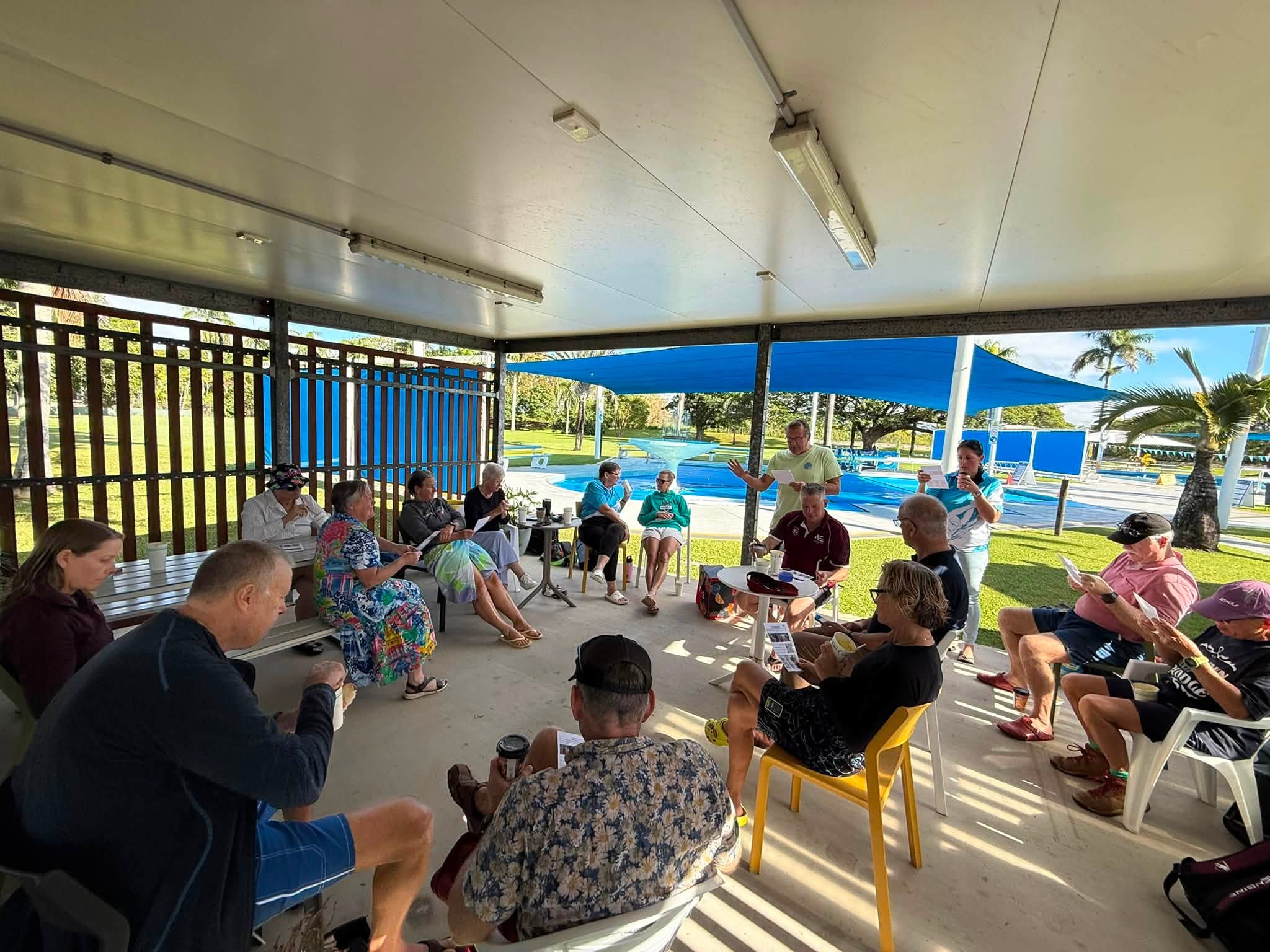
Independently Owned, Locally Grown, Community Loved


The best course of action for most people is to shelter in their homes during a cyclone, however, if your home is located in an evacuation zone, an older home, or someone in the family has special needs, it is best to plan and prepare to evacuate and seek shelter elsewhere.
There are two shelter locations in the Whitsundays:
• Bowen Cyclone Shelter, Bowen State High School, Richmond Road, Bowen
• Proserpine Cyclone Shelter, Proserpine State School, Sterry Street, Proserpine
To check if your home is in an Evacuation Zone (Storm Tide), visit the Whitsunday Disaster Dashboard, and view the map, with the filter set to ‘Storm Tide Layer’: https://disaster.whitsundayrc.qld.gov.au/
How to read the Evacuation Zone (Storm Tide) map colours?
Red – Extreme Risk
Residents in the Red Zone have the highest risk of inundation or isolation from a cyclone storm tide. The Red Zone includes low-lying coastal areas and areas that may experience storm tide affects up to approximately 1.25 metres above Highest Astronomical Tide (King Tide).
Residents in the Orange Zone have a high risk of inundation or isolation from a cyclone storm tide. The Orange Zone includes low-lying coastal areas and areas that may experience storm tide affects up to approximately 2.25 metres above Highest Astronomical Tide (King Tide).
Yellow – Moderate Risk
Residents in the Yellow Zone have a medium risk of inundation or isolation from a cyclone storm tide. The Yellow Zone includes low-lying coastal areas and areas that may experience storm tide affects up to approximately 4.25 metres above Highest Astronomical Tide (King Tide).
Blue – Minor Risk
Residents in the Blue Zone have a low risk of inundation or isolation from a cyclone storm tide.
White – Extremely Minor Risk/No Risk
Residents in the White Zone have a very low risk or no risk of inundation or isolation from a cyclone storm tide.

Publishers Indemnity. Any individual or entity that places advertising, supplies copy material, or submits editorial content to Core Life Publishing agrees and undertakes to ensure that all such material:- Does not infringe upon any copyright, trademark, or other intellectual property rights;- Is free from any content that could be considered defamatory, libelous, or slanderous;- Does not infringe upon any rights related to privacy or breach of confidence;- Contains no obscene, indecent, or otherwise unlawful material;- Complies fully with the Trade Practices Act and all other applicable laws, regulations, or statutes.Furthermore, by submitting or placing such material, these individuals or entities agree to indemnify and hold harmless the publisher, Core Publishing and Events Pty Ltd, and/or its agents from and against any and all investigations, claims, demands, liabilities, damages, costs, or judgments arising out of or in connection with the material provided. All material is believed to be accurate at the time of printing and remains the copyright of Core Publishing and Events Pty Ltd.
© 2026 Mackay and Whitsunday Life Pty Ltd.