Independently Owned, Locally Grown, Community Loved


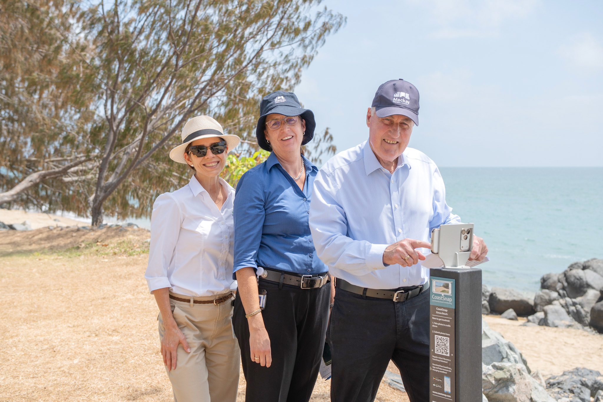
L-R - Robyn Burkett, Coordinator Waterways and Coastal Planning for Mackay Regional Council, Kylie Cauchi, Waterways Planning Advisor for Mackay Regional Council and Mayor Greg Williamson of Mackay Regional Council, testing out the new CoastSnap pole at Eimeo Beach. Photo credit: Hannah McNamara
Mackay beachgoers are encouraged to put their photography skills to good use, with the arrival of two new monitoring stations giving community members a hands-on role in tracking changes to the coastline.
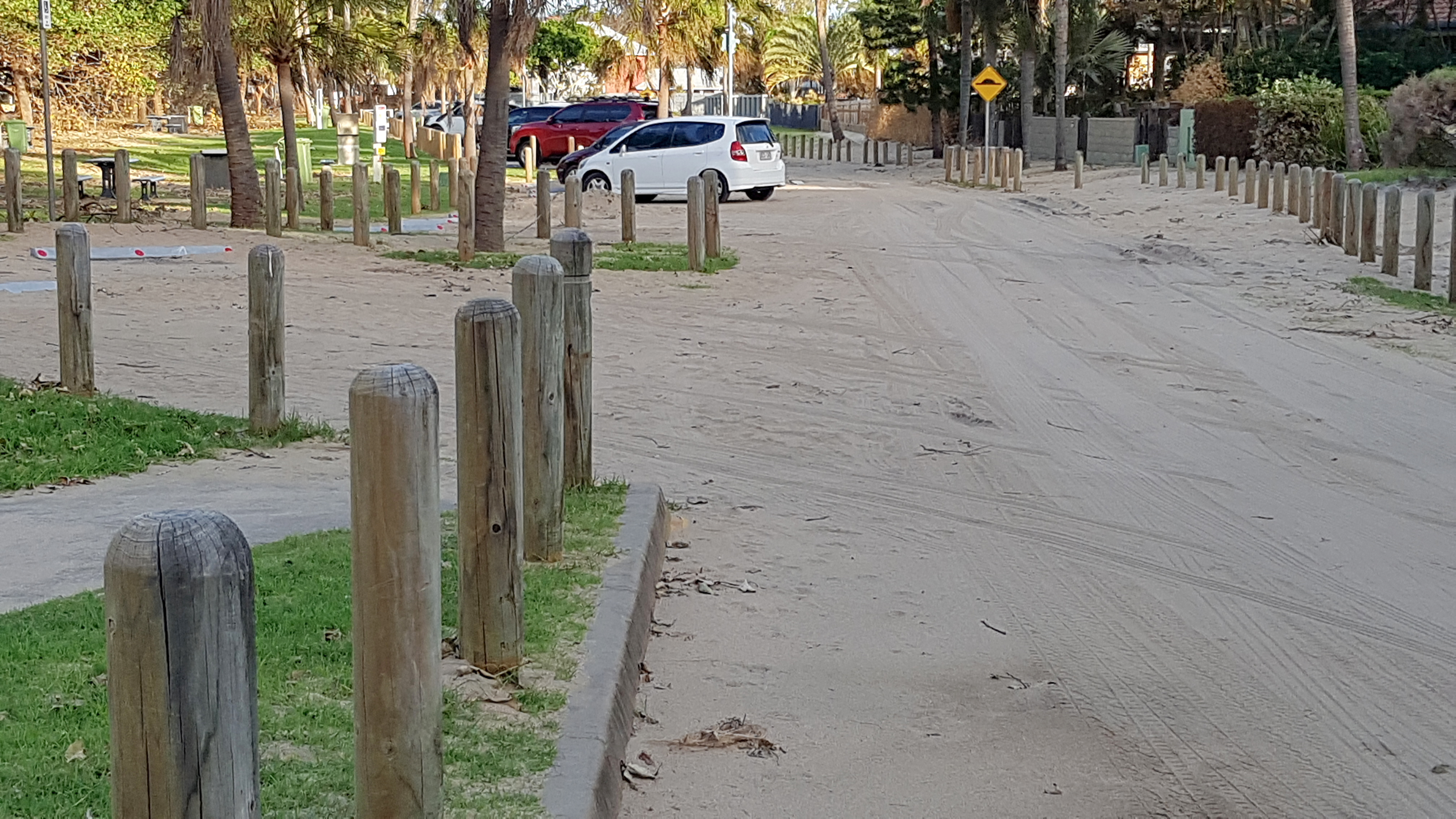
Eimeo Beach and Lambert’s Beach are the first locations to introduce the newly installed CoastSnap poles, which feature a phone cradle where residents and visitors can position their phones, capture an image of the coastline and upload it through the CoastSnap app.
Photos taken from the same position over time will help build a long-term record of sand movement, beach erosion and recovery, providing valuable information to support future coastal management.
Mackay Regional Council Mayor Greg Williamson said the project, led by the University of New South Wales, would give council access to valuable monitoring data while allowing the community to get involved.
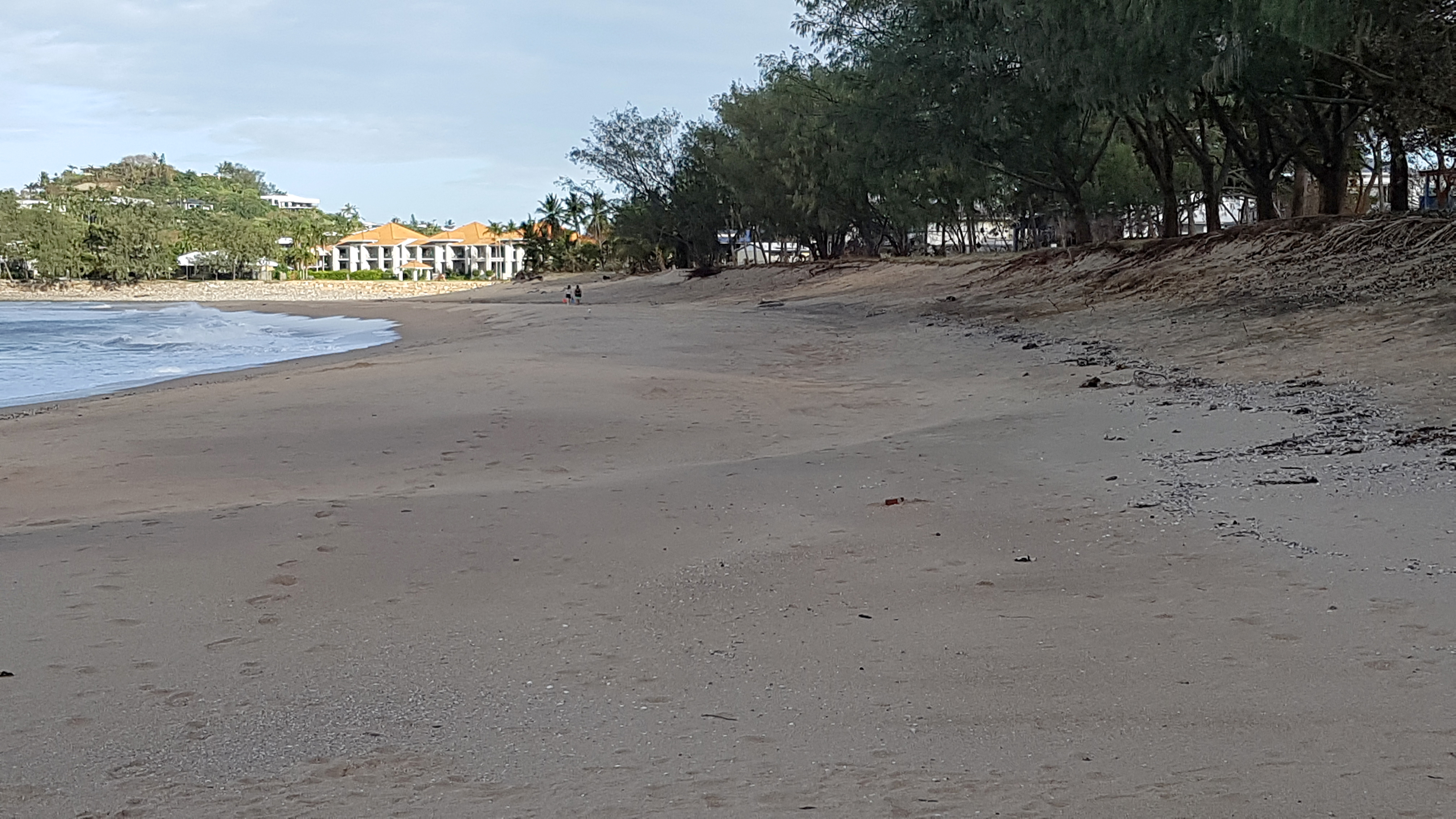
"It's easy to use. You just follow the barcode. And you can do it anonymously, you don't have to put your name on it," he said.
Mr Williamson said the photographs and accompanying observations would help build a detailed picture of how the region's beaches change over time.
"If everybody does that every day, just imagine the record that we're going to have via the University of New South Wales to manage this in the future," he said.
"This is just another tool for us to be able to effectively manage the 31 beaches we've got in our region."
Council's Coordinator of Waterways and Coastal Planning Robyn Burkett said the initiative formed part of the Mackay Coast Our Future project, helping council better understand coastal conditions and plan for future changes.
"It's about monitoring our beaches, and community education, so that's why we're encouraging people to come along, snap a photo, and learn more about coastal hazards and how our coastal processes work in the Mackay region," she said.
Ms Burkett said ongoing monitoring would help determine how much sand was lost during storm events, whether beaches recovered naturally and when intervention might be needed.
"Having good information now, when we experience a storm event, looking at what those changes are, and how much sand is lost, whether it will recover over time, or whether it needs intervention is really important."
The CoastSnap initiative was founded in 2017 as a pilot project by the University of New South Wales, with more than 100 poles now installed across 16 countries.
The two Mackay stations were funded by council, with further locations being considered for the region.
To learn more, visit www.coastsnap.com or visit connectingmackay.com.au/mackay-coast-our-future.

Publishers Indemnity. Any individual or entity that places advertising, supplies copy material, or submits editorial content to Core Life Publishing agrees and undertakes to ensure that all such material:- Does not infringe upon any copyright, trademark, or other intellectual property rights;- Is free from any content that could be considered defamatory, libelous, or slanderous;- Does not infringe upon any rights related to privacy or breach of confidence;- Contains no obscene, indecent, or otherwise unlawful material;- Complies fully with the Trade Practices Act and all other applicable laws, regulations, or statutes.Furthermore, by submitting or placing such material, these individuals or entities agree to indemnify and hold harmless the publisher, Core Publishing and Events Pty Ltd, and/or its agents from and against any and all investigations, claims, demands, liabilities, damages, costs, or judgments arising out of or in connection with the material provided. All material is believed to be accurate at the time of printing and remains the copyright of Core Publishing and Events Pty Ltd.
© 2026 Mackay and Whitsunday Life Pty Ltd.