Independently Owned, Locally Grown, Community Loved


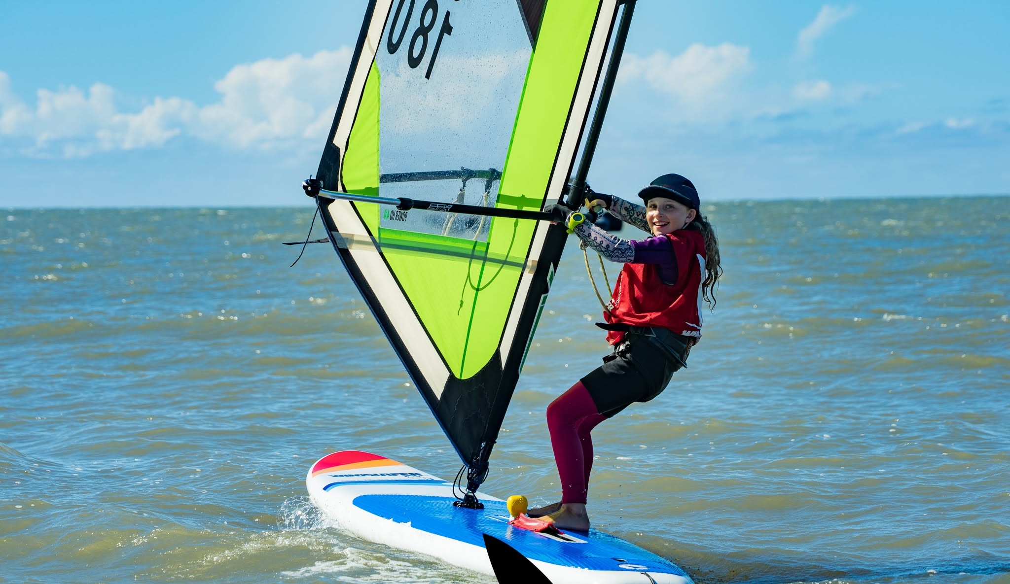
-photo-credit-kim-haylock-1768352900.jpg)
Friday, the 9th of January
A Severe Weather Warning was issued at 10:56am for the Whitsundays region, advising that a tropical low in the Coral Sea was expected to impact parts of Queensland later that day and across the weekend, bringing heavy to locally intense rainfall and damaging winds. Residents were advised to expect hazardous conditions through to Sunday.
A Tropical Cyclone Watch was in place from Tully to Airlie Beach, with a Tropical Cyclone Warning active further north.
At 4:55pm, a further Severe Weather Warning was issued for heavy to locally intense rainfall and damaging winds, with authorities warning of the potential for dangerous and life-threatening flash flooding.
Saturday, the 10th of January
At midday, an Advice-level warning was issued for the Whitsunday Local Government Area. Tropical Low 12U was developing slowly as it moved toward the North Queensland coast, with Bowen, Proserpine and Airlie Beach within the warning zone. Very strong winds and heavy rainfall were possible, with flooding risks identified in some locations. Residents were advised to secure loose items around their properties.
At 4:18pm, residents in low-lying or flood-prone areas were urged to prepare sandbags ahead of forecast heavy rainfall, with collection points established across Proserpine, Cannonvale, Bowen and Collinsville.
At 4:36pm, a Watch and Act warning was issued as Tropical Low 12U moved closer to the coast and was deemed likely to intensify into a tropical cyclone later that afternoon. Bowen, Proserpine and the Whitsunday Islands were included in the warning zone, and residents were urged to take shelter.
At 6:07pm, an Emergency Alert message was issued from the national emergency number +61 444 444 444, advising that the Whitsunday region would be affected by Tropical Cyclone Koji, with destructive winds likely. Residents were instructed to prepare to take shelter immediately, warn neighbours and secure belongings. A similar message was issued again around 8pm.
At 7:48pm, an Emergency-level warning was issued advising residents to TAKE SHELTER NOW, as Tropical Cyclone Koji approached the coast with destructive wind gusts of up to 130km/h.
Sunday, the 11th of January
At 8:24am, the Whitsunday Disaster Coordination Centre phone line was activated, providing the community with a direct point of contact to report issues and access updated information as conditions evolved.
At 8:45am, the Bruce Highway was closed near Merinda, north of Bowen, due to floodwaters. Motorists were advised to avoid the area and seek alternative routes.
By 11:42am, Tropical Cyclone Koji had crossed the coast between Ayr and Bowen and weakened below tropical cyclone intensity. Despite the downgrade, heavy rainfall continued between Ayr and Mackay, while strong winds persisted along coastal areas, including the Whitsundays.
At 12:08pm, advice to continue monitoring conditions was issued as heavy rainfall and strong winds remained across the region.
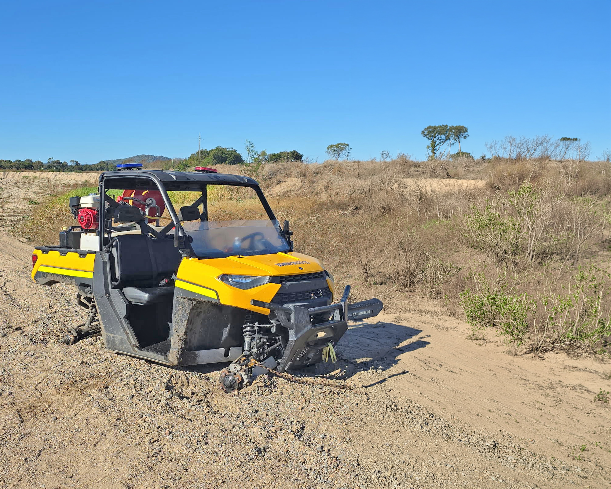
In the aftermath, multiple vessels were washed ashore across the Whitsundays, with several sustaining significant damage.
Throughout the afternoon, Hamilton Plains–Shute Harbour Road and sections of the Bruce Highway near Georgia Plains were closed due to hazardous conditions.
Monday, the 12th of January
At midday, the Whitsunday Disaster Management Group transitioned to Stand Down, activating recovery groups and response activities for impacted communities. All ongoing warnings for the region were lifted.
Tuesday, the 13th of January
Although some motorists reported limited access the previous day, the Bruce Highway was officially reopened at 7:16pm. Travellers were advised that some areas remained subject to flooding, with large potholes identified near Marlborough and sections of the roadway in poor condition.
Publishers Indemnity. Any individual or entity that places advertising, supplies copy material, or submits editorial content to Core Life Publishing agrees and undertakes to ensure that all such material:- Does not infringe upon any copyright, trademark, or other intellectual property rights;- Is free from any content that could be considered defamatory, libelous, or slanderous;- Does not infringe upon any rights related to privacy or breach of confidence;- Contains no obscene, indecent, or otherwise unlawful material;- Complies fully with the Trade Practices Act and all other applicable laws, regulations, or statutes.Furthermore, by submitting or placing such material, these individuals or entities agree to indemnify and hold harmless the publisher, Core Publishing and Events Pty Ltd, and/or its agents from and against any and all investigations, claims, demands, liabilities, damages, costs, or judgments arising out of or in connection with the material provided. All material is believed to be accurate at the time of printing and remains the copyright of Core Publishing and Events Pty Ltd.
© 2026 Mackay and Whitsunday Life Pty Ltd.